GIS Mapping
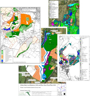 Our in-house GIS system (MapInfo) is a powerful tool that enables us to digitize survey data and produce accurate maps and gives us the capability to undertake spatial analysis.
We normally use GIS to map Phase 1 habitat data; however, we have also used it to present bat activity patterns in relation to landscape features, environmental stewardship schemes, mitigation/compensation schemes, ranging patterns of badgers for bait-marking studies.
We were commissioned by Natural England to produce Opportunity and Vulnerability maps for the West Midlands region aimed at creating GIS layers that identified a range of levels of habitat opportunity and vulnerability.